
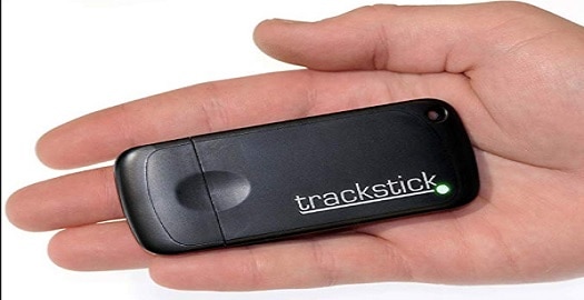
The Trackstick – for serious travellers
For those who are forever on the move, this new gadget could help you to recall where you’ve been. The Trackstick uses GPS technology to keep an accurate record of the carrier’s movements, including altitude, latitude and longitude.
It can also link up with Google Earth to show your route, download pictures of where you’ve been and what you will have seen, or missed, along the way.
The small transmitter communicates with satellites to document your position, speed and direction, as often as every five seconds during a journey. It then plugs directly into a USB port on your computer, allowing you to download and view the journey data. It also charges through the USB port – GREAT for international movers!
The device can take a while to lock on to satellites, but the status of this is indicated by the LED light, so be sure the light flashes green before beginning your journey.
Data is viewed through Trackstick Manager, a fairly user-friendly software that can be downloaded from the vendor website. You can export the data in a number of formats including CSV (used in an Excel file). It can also associate images taken on a digital camera with GPS locations by matching time and date stamps on the gadgets.